Professional
drone services
Specialists in Drone Inspections and Drone Mapping
Experienced Drone Operators
ROC Certified


ISO 9001:2015 certified
Approved service supplier


Off-shore certified
expertise
What We Do
Drone
Inspections
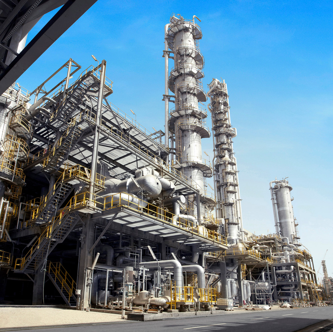
Our drones see it all, including what’s invisible to the naked eye, and they reach areas that would be unsafe for personnel to access. These drones are ideal for inspecting locations with hazardous substances and high, expansive buildings and installations. The operators at Rotterdam Robotics conduct both visual and thermographic inspections.

Mapping &
Point clouds
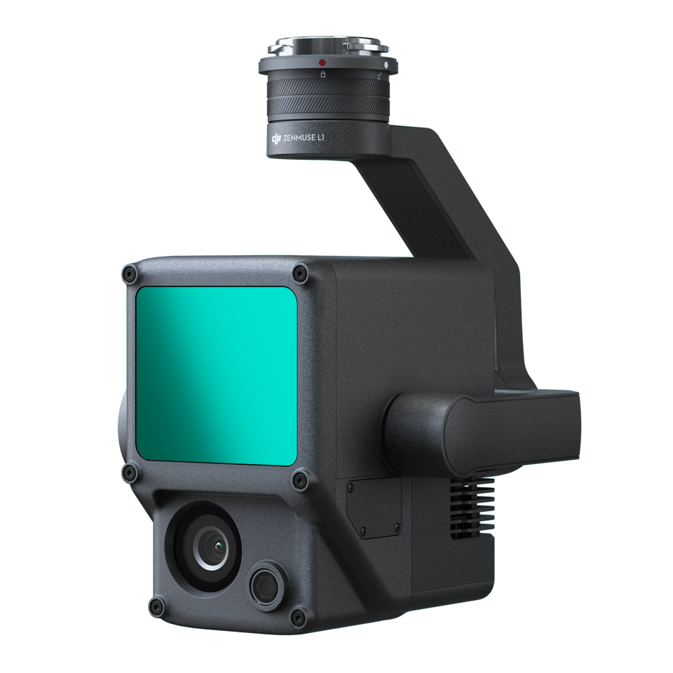
From volume calculations to digital terrain models, and from orthophotos to point clouds, our drones collect mapping data for buildings, project sites, and construction areas, which we transform into clear end products. Our equipment provides precision in both 2D and 3D models, offering the most reliable information.
What Rotterdam Robotics does
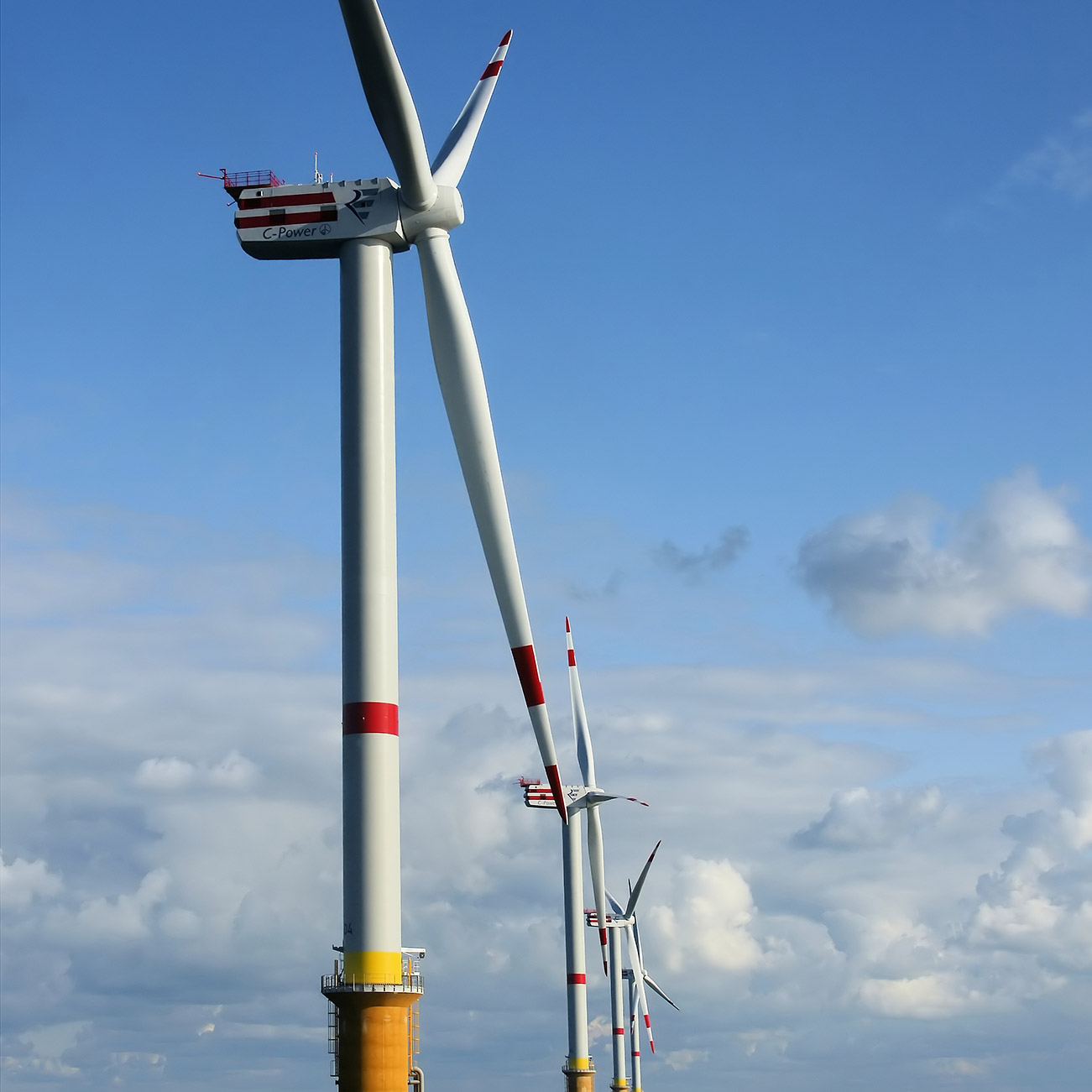
Can you safely use your ship's cargo tank for the next project? Do the storage tanks at the oil terminal meet all required standards? After a drone inspection by Rotterdam Robotics, you'll quickly know where you stand. Whether it's a periodic inspection with a surveyor or a regular safety check, our experienced drone operators use the most advanced equipment to ensure an efficient tank inspection. We also apply our expertise to other drone inspections and drone mapping across the maritime sector, offshore, and industry.
Your Advantage
Why Choose Rotterdam Robotics?
Safe
Drone inspections eliminate unnecessary risks for you and your team. With the drone taking on the inspection, you can maintain a safe distance alongside our operator. This means quicker, more frequent inspections, enhancing safety in your work environment.
Cost-Effective
Drone inspections offer significant cost savings, removing the need for personnel in hazardous areas and reducing preparation efforts, like tank cleaning or scaffold setup. Plus, the inspections are conducted swiftly, maximizing your efficiency.
Reliable
Rotterdam Robotics is ROC certified, employing experienced operators with RPA-L licenses who expertly maneuver the drones through tanks, over buildings, and around installations, delivering trustworthy, effective inspections and mapping services.
Fast
We’re available 24/7 to keep your processes moving. Rotterdam Robotics drone inspections streamline every phase, from request to reporting, allowing you to quickly return to your core activities.
Equipment
Our Drones
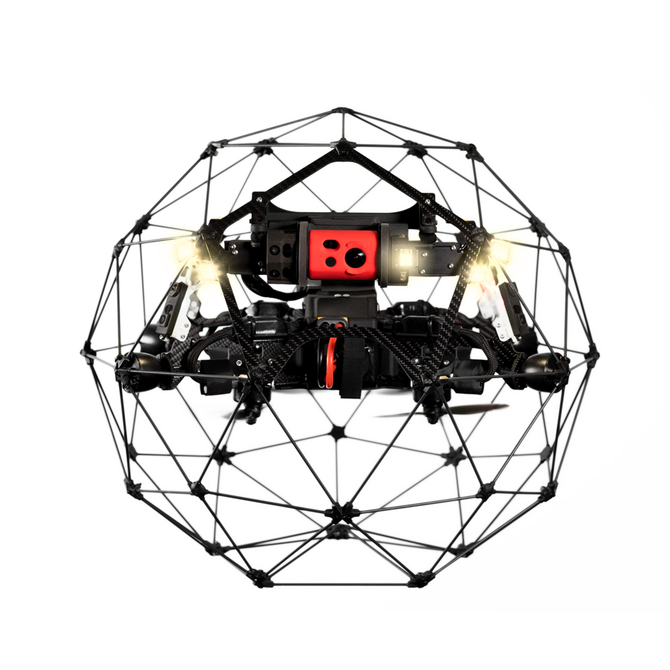
Our team operates high-tech drones tailored to your project needs. For tank inspections, we use the Fly Elios 2—perfect for indoor inspections, with a protective cage, thermal and 4K cameras, and a stable design under any conditions. Watch the inspection live in HD from a safe distance.
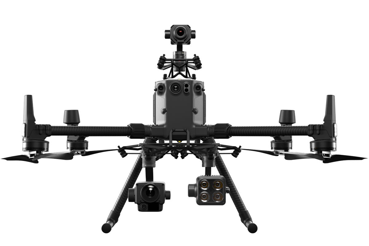
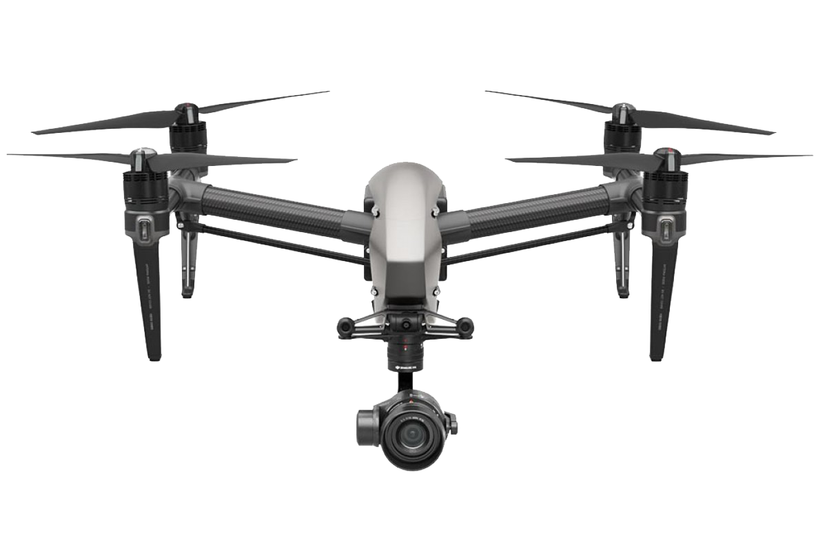
Our team operates high-tech drones tailored to your project needs. For tank inspections, we For outdoor inspections, we rely on the DJI Matrice 300, a robust industrial-grade drone that withstands extreme weather and is equipped for inspecting solar panels, high-voltage towers, wind turbines, and oil platforms.
